
Agriculture & Farm Management
Custom pricing based on acreage
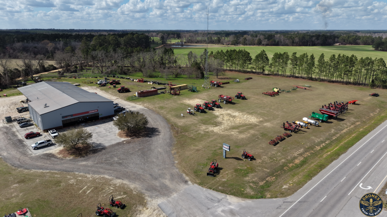
Get a clearer picture of your farm's health and infrastructure without stepping foot in the field. We provide farmers and landowners with the aerial data they need to make proactive, informed decisions.
Insurance & Storm Damage Mapping: Fast, accurate "before and after" orthomosaic field maps to document crop loss and streamline insurance claims.
Visual Crop Scouting: High-altitude plant health checks to identify canopy inconsistencies, weed pressure, and areas of crop stress.
Topography & Drainage Analysis: Detailed field mapping to analyze water flow, identify pooling, and optimize your drainage strategies.
Infrastructure Inspections: Safe, high-resolution aerial checks of grain silos, pivot irrigation systems, and expansive property fencing.
Fully Licensed: Flown by an FAA Part 107 Certified Pilot.
Whether you need detailed topographical maps to solve water flow and drainage issues, or routine visual crop health checks to monitor your yield, we deliver crisp, actionable data. When severe weather hits, our rapid-response field mapping provides the exact "before and after" documentation required to expedite crop insurance claims. We also eliminate the safety risks of manual infrastructure checks by providing high-resolution aerial inspections of grain silos, fencing lines, and irrigation equipment.